Mara Baumann · 3 November 2026
Examining How Satellite Imagery Aids in Monitoring Erosion Risks for Oceanfront Accommodation Structures
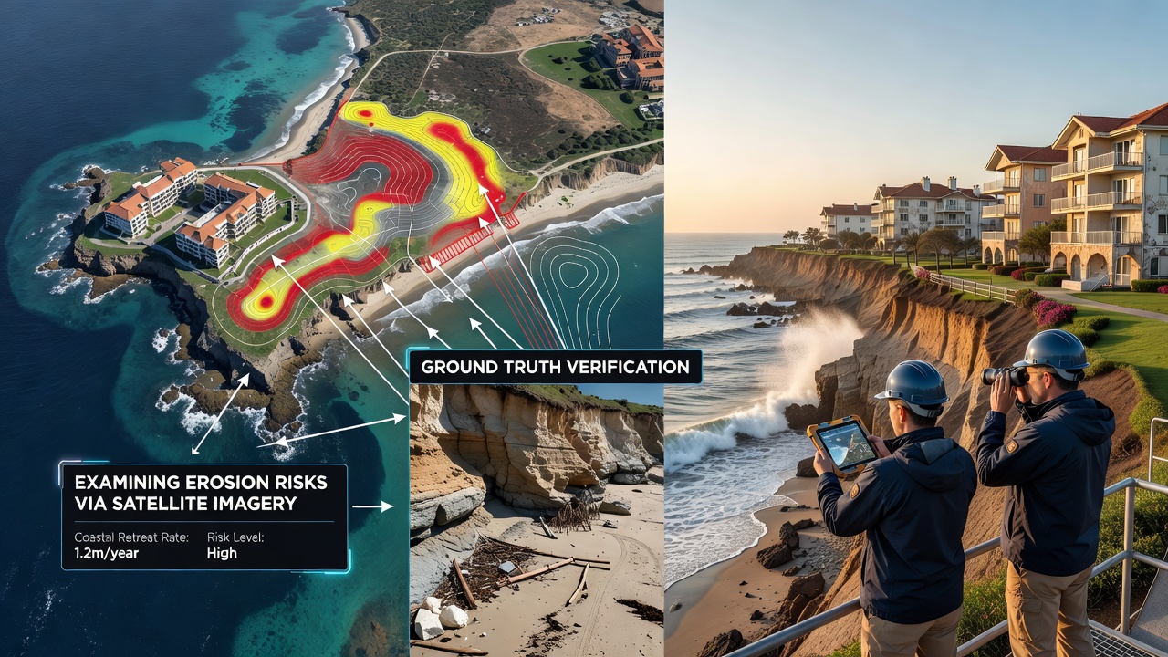
Coastal erosion poses ongoing challenges for oceanfront accommodation structures, and satellite imagery supplies consistent, large-scale data that tracks shoreline movement over time. Researchers rely on repeated passes from orbiting sensors to measure retreat rates, sediment shifts, and storm impacts without requiring constant ground crews. Data collected this way reveals patterns that span decades, which helps property managers anticipate where protective measures may become necessary.
Core Satellite Technologies in Use
Optical systems such as Landsat and Sentinel-2 capture visible and near-infrared bands that distinguish water from land, while synthetic aperture radar instruments on Sentinel-1 operate through clouds and at night to deliver uninterrupted coverage. These complementary sources allow analysts to generate shoreline vectors at intervals of weeks or months, and automated algorithms compare successive images to quantify change in meters per year. Commercial constellations add higher revisit rates, supplying sub-meter detail during critical periods after major weather events.
Application to Accommodation Risk Assessment
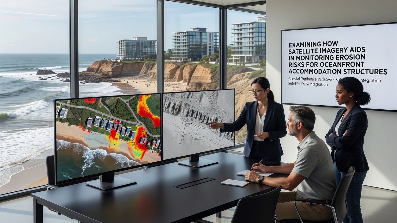
Operators of beachfront lodges and hotels integrate these datasets into geographic information systems that overlay erosion trends with building footprints and infrastructure. When retreat rates exceed thresholds established by regional planning guidelines, owners receive early indicators that guide decisions on setbacks, dune reinforcement, or relocation planning. In regions where seasonal storms accelerate loss, imagery collected before and after events isolates the contribution of individual weather systems to cumulative damage.
Studies conducted along the Australian coastline demonstrate how multi-year Landsat archives identify hotspots where accommodation clusters face elevated exposure, and similar workflows applied in the Mediterranean highlight seasonal sediment transport that affects resort stability. Observers note that radar data proves especially useful in cloudy temperate zones where optical gaps would otherwise leave monitoring blind spots.
Integration with Ground and Modeling Efforts
Satellite outputs feed into numerical models that simulate future shoreline positions under various sea-level and wave scenarios, yet the imagery itself remains the primary observational anchor. Field surveys and LiDAR flights supply calibration points, but the broad spatial coverage from space reduces the frequency and cost of those targeted campaigns. November 2026 marks the scheduled release of enhanced Sentinel-2 processing chains that improve shoreline extraction accuracy in turbid waters, a development expected to benefit monitoring programs already operating in Southeast Asia and the Caribbean.
Case Examples from Different Regions
Along the US Pacific coast, repeated imagery analysis has documented average annual retreat of 0.5 to 2 meters in areas adjacent to lodging developments, prompting updates to local hazard maps. In the United Kingdom, Environment Agency programs combine Sentinel-1 radar with historical aerial records to track soft-cliff erosion that threatens cliff-top hotels. Canadian researchers apply the same approach to Arctic coastal communities where permafrost thaw compounds wave-driven loss, and the resulting datasets support engineering assessments for elevated structures.
One study coordinated through Geoscience Australia tracked sediment budgets around resort precincts on the east coast, revealing that longshore transport reversals after cyclones can either replenish or strip beaches within a single season. Another project led by European academic teams used time-series classification to separate natural variability from anthropogenic influences near developed shorelines.
Limitations and Complementary Data Needs
While satellite resolution continues to improve, vertical accuracy remains coarser than airborne LiDAR, so hybrid approaches still deliver the most reliable volume-change estimates. Cloud cover in tropical zones can reduce optical observation frequency, which is why radar layers receive priority in operational dashboards. Accommodation operators typically combine imagery-derived risk layers with insurance requirements and regulatory reporting cycles rather than relying on any single source.
Conclusion
Satellite imagery supplies repeatable, objective measurements that document erosion trajectories around oceanfront accommodation structures across multiple continents. By feeding these observations into planning models and early-warning systems, stakeholders obtain factual baselines that support timely interventions. Continued sensor upgrades and open data policies ensure the method remains accessible for ongoing coastal management efforts.